
Thunder Basin National Grasslands Research
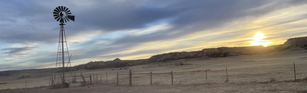
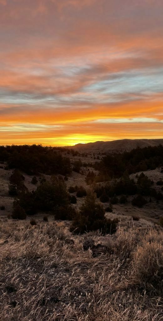
The Thunder Basin National Grasslands were announced to be “Unfarmable land” in the middle of the dust bowl and depression, leaving the huge tract of land as a public recreation area. It’s kind of hard, right now, to recreate in the grasslands. The maps are a little difficult to read when you’re trying to find the RIGHT dirt road in the expanse of nothing but dirt roads and coal mines. There is only dispersed camping and only in certain areas of the grasslands, as they leased out some of the land to various ranchers to graze their livestock.
I have this crazy vision of what the Grasslands could be. Having spent most of last summer within driving distance from some of the hiking capitals of the world in Arizona, I realized that places like Sedona didn’t become famous for their outdoor activities overnight. The vast network of trails that crisscross the red rocks weren’t always there. (It’s worth mentioning here that we have Red Rock in Wyoming too, but for a different reason than the Sedona area– same iron in the rock though!) The vision I have is of a Grasslands that is easier to recreate on and maybe even a destination for some.
The Grasslands are within driving distance to both Devil’s Tower AND the Black Hills of South Dakota. These are huge tourism draws during the summer, and especially during August’s motorcycle rally. Tourists have literally been looking for more good camping near the black hills for years. For all of these reasons and many more, I’m exploring the Grasslands with the hope of finding more history, good places for real hiking trails or developed campgrounds for people to enjoy.
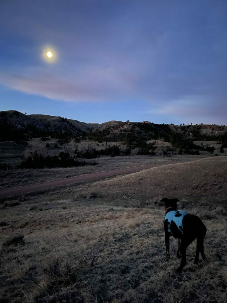
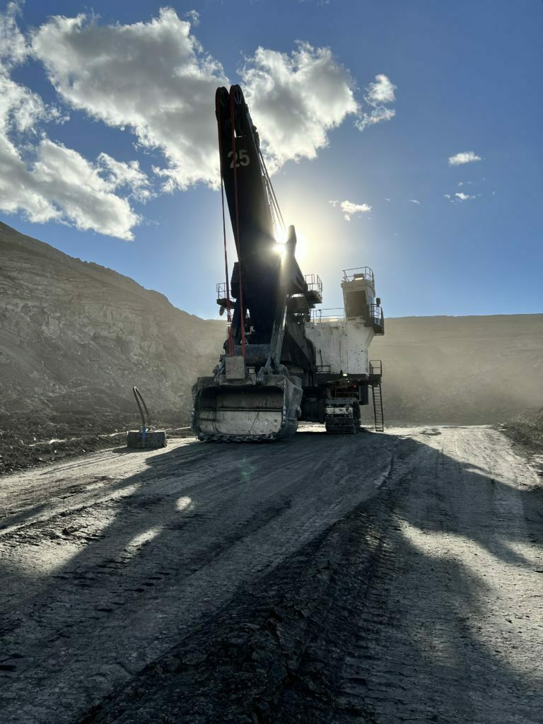
Right now, the Grasslands are a peaceful place where locals know they can go hunting. It’s a huge amount of sagebrush and bones and plateau rock formations. The Pumpkin Buttes are within driving distance also and have always struck me as more of a recreation area than just buttes on the horizon. It’s all of these exciting ideas coming together in my own head that has me exploring– I’m comparing old geological surveys, old coal mine environmental impact statements, and collecting oral histories from the locals nearest to the Grasslands to put together a history of the region.
Someday, maybe there will be a Thunder Basin National Grasslands visitor’s center. Maybe this lean into the tourism of the local area would save my home town when the coal mines close. Maybe this will create new jobs and new recreational opportunities for those in the area. Maybe a few developed trails and one developed campground could help get it on the right track and away from dependency on the coal mines.
I’m going to be working on this project for years, I can feel it. It will take me years to explore the 500,000 acres. It will take me years to read the maps and get everything into a digestible format. I welcome any help or information anyone has to offer as I work on this project mostly solo and learn the skills I will need through backcountry hiking and camping.
I hope you’ll all follow along.
Questions or comments? Contact us below: